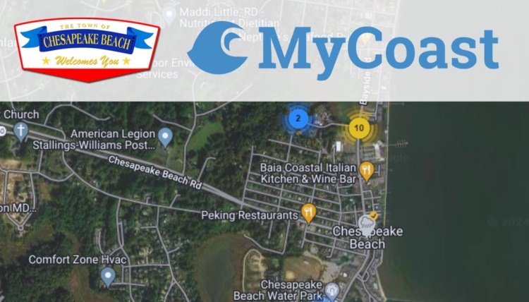
CHESAPEAKE BEACH, Md. – Help the Town, County and State agencies monitor flooding by downloading the MyCoast App – visit mycoast.org for more information. The MyCoast App makes tracking flooding events easy by automatically linking the daily tide schedules and weather events to your image. Once you create an account you will be able to add images to the Town of Chesapeake Beach’s reports and view others reports of flooding in the area.
Created in 2019, MyCoast: Maryland is an initiative within the Maryland Department of Natural Resources’, Chesapeake and Coastal Service, designed to give you a platform where you can share photos to document on the ground impacts of flooding and damage that are attributed to rain, storms, or high tides. This helps us determine how often a community is flooding and where, which can help identify and prioritize climate change resilience and restoration opportunities.
By using MyCoast you are helping document important weather and climate related events in our community. The Town will analyze this data along with partnering agencies to make informed management decisions.

Related


