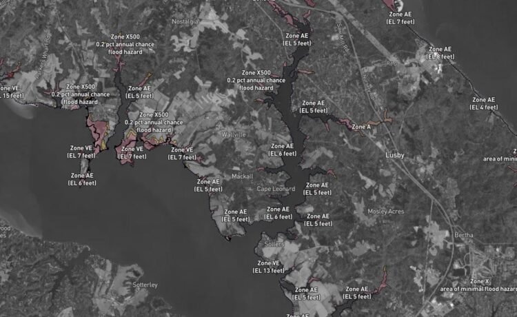
PRINCE FREDERICK, Md. – The Calvert County Department of Planning & Zoning has launched a new online flood mitigation map system, powered by Forerunner, providing residents with up-to-date details on flood risks for their properties. The platform aims to make it easier for the community to access relevant data and important documents.
The new system allows users to search for a property’s flood risk by address, providing information such as flood zone, Base Flood Elevation (BFE), Design Flood Elevation (DFE) and important flood compliance-related warnings. Each property has a public profile accessible to homeowners, contractors, insurance agents, realtors and others.
“Our department worked diligently to provide Calvert County residents this new online map system, with upgraded features that provide a more user-friendly way to access essential, time critical data regarding their property,” said Mary Beth Cook, Department of Planning & Zoning director.
Additionally, Forerunner offers a “get help” page, which allows users to contact their local floodplain management team directly with any questions. Users simply enter their information and the address of the property in question. For additional floodplain information and educational videos visit www.calvertcountymd.gov/Floodplain.
To explore the new flood mitigation map system, visit the Calvert County Government website at https://calvertcountymd.withforerunner.com.
Find information on Calvert County Government services online at www.CalvertCountyMd.gov. Stay up to date with Calvert County Government on Facebook at www.facebook.com/CalvertCountyMd and YouTube at www.youtube.com/CalvertCountyGov.


